How Utah's Mountainous Terrain Affects Land Surveys (And Your Budget)
Utah's landscape is among the most dramatic in the American West. The Wasatch Range rises more than 7,000 feet above the Salt Lake Valley floor, and the foothills, canyons, and benches that define the Wasatch Front are home to thousands of residential properties. It's one of the reasons people love living here—and it's one of the reasons land surveys in Utah can be more complex and more expensive than in flatter parts of the country.
At Deseret Land Surveyor, we survey properties from the valley floor to the upper benches, from Emigration Canyon to the Point of the Mountain. In this article, we'll explain how Utah's mountainous terrain affects the surveying process and what that means for your budget.
Why Terrain Matters in Land Surveying
Land surveying is fundamentally about measurement. A surveyor's job is to determine the precise location of property boundaries, improvements, and topographic features on the ground. On flat, open land with good access, this process is relatively straightforward. On steep, rocky, densely vegetated hillsides, every aspect of the job becomes harder.
Fieldwork Takes Longer
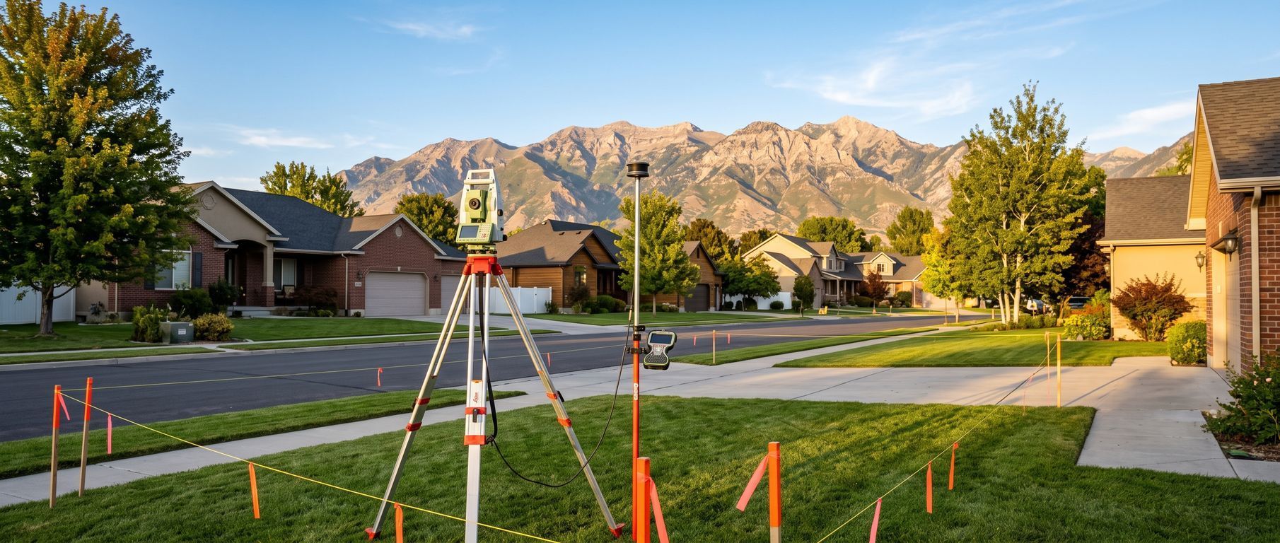
On a flat residential lot in the valley—say, in Murray, Taylorsville, or West Jordan—a two-person survey crew can typically complete boundary fieldwork in a few hours. The terrain is level, sight lines are clear, and monuments (survey pins or caps) are usually accessible.
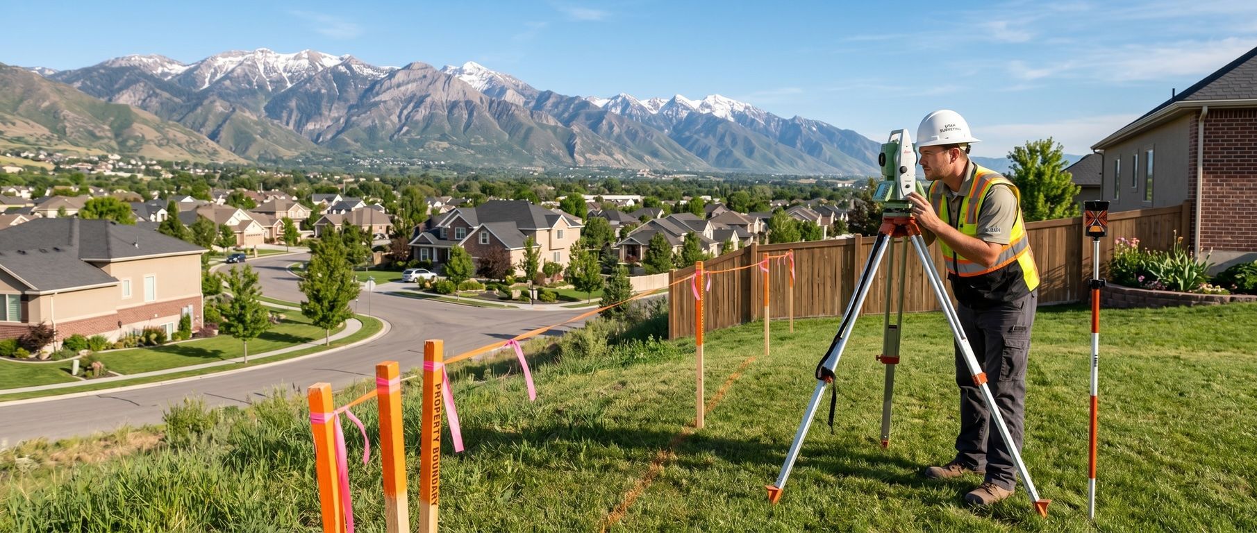
On a hillside lot in the east bench, the Avenues, or along the Wasatch foothills, that same crew might need a full day or more. Here's why:
- Steep slopes slow movement. Carrying equipment up a 30-percent grade is physically demanding and time-consuming. Crew safety becomes a factor.
- Dense vegetation blocks sight lines. Scrub oak, Gambel oak, and other native vegetation along the Wasatch Front can be impenetrable in places. Clearing line-of-sight paths for total station measurements takes time.
- Rocky terrain makes monument recovery difficult. Finding an iron pin that was set decades ago on a steep, rocky slope—potentially buried under years of erosion and debris—requires patience and expertise.
- Access may be limited. Some hillside properties can only be reached by narrow, winding roads. There may be no place to park a survey truck nearby, requiring the crew to carry equipment significant distances on foot.
Research Is More Complex
Mountainous properties often have more complicated legal histories than valley-floor lots. Many hillside parcels were carved from larger tracts of land over decades, with legal descriptions referencing natural features (ridgelines, creek beds, rock outcroppings) that may have changed over time. Historical surveys in these areas may be less precise than modern standards, requiring the surveyor to spend additional time reconciling old records with current conditions.
Properties in the foothills may also be subject to special regulations, such as Salt Lake City's Foothills and Canyons Overlay Zone (FCOZ), which requires slope classification maps and imposes development restrictions based on slope steepness. Preparing these maps requires topographic data that adds to the survey scope.
Topographic Surveys Are Often Required
For hillside building projects, a simple boundary survey is rarely sufficient. Municipalities and engineers typically require a
topographic survey showing existing ground elevations, slopes, drainage patterns, and natural features. This data is essential for:
- Designing foundations on sloped lots
- Planning grading and drainage
- Meeting geotechnical study requirements
- Demonstrating compliance with slope development restrictions
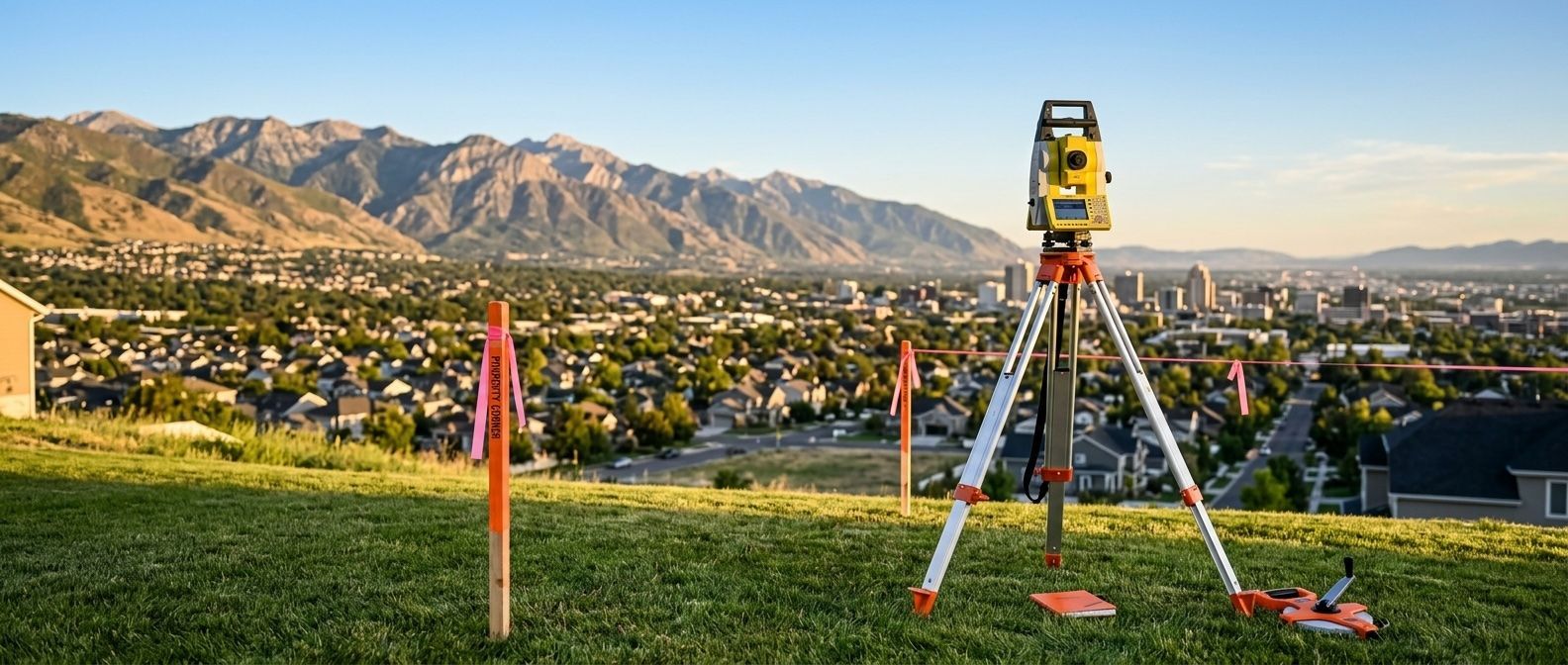
A topographic survey involves collecting hundreds or thousands of elevation data points across the property—work that takes significantly longer on steep terrain than on flat ground. In some cases, we supplement traditional ground surveys with drone-based photogrammetry or LiDAR data to efficiently capture terrain data on particularly challenging sites.
How Terrain Affects Your Budget
All of these factors translate directly into cost. Here's a general comparison:
|
Property Type |
Typical Survey Cost |
- | Flat residential lot (< 0.5 acres, valley floor) | $1,000–$1,800 |
- | Moderate slope (10–20%, east bench) | $1,500–$2,500 |
- | Steep hillside lot (20–40%, foothills) | $2,500–$4,500 |
- | Remote mountainous parcel (canyons, upper elevations) | $3,500–$8,000+ |
These are ballpark ranges. Actual costs depend on the specific property, the type of survey needed, and the scope of work required.
The premium for hillside properties isn't about surveyors charging more for the same work—it's about the additional time, equipment, safety measures, and expertise required to achieve the same level of accuracy in more challenging conditions.
What About GPS? Doesn't Technology Solve This?
Modern surveying technology—including high-precision GNSS (GPS) receivers, robotic total stations, and drones—has dramatically improved efficiency and accuracy. However, technology doesn't eliminate terrain challenges; it mitigates them.
- GPS signals can be blocked by steep canyon walls and dense tree canopy. In narrow canyons or under heavy tree cover, GPS receivers may not achieve the centimeter-level accuracy required for boundary surveys. Surveyors must then rely on traditional optical methods, which are slower.
- Drones can access areas that are difficult to reach on foot, but they require clear airspace and favorable weather conditions. Windy conditions along the Wasatch Front can ground drone operations.
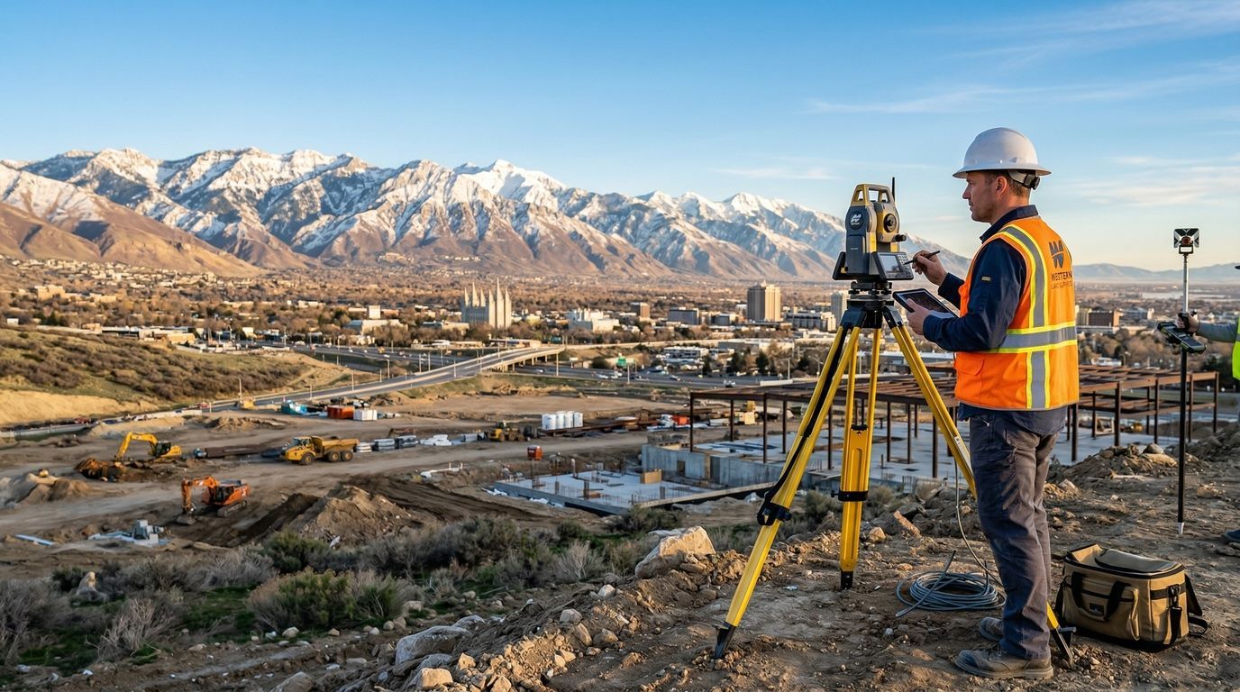
- Total stations require line-of-sight between the instrument and the target. On heavily vegetated hillsides, crews may need to clear brush or set up multiple instrument positions to measure across the property.
Technology is a tool, not a magic wand. The experience and judgment of the surveyor operating the technology is what makes the difference.
Tips for Budgeting a Hillside Survey
If your property is on a slope, here are some practical tips:
- Get a quote before committing to a purchase. If you're buying a hillside lot for development, get a survey quote as part of your due diligence. The survey cost may surprise you—and it's better to know upfront.
- Be upfront about your project scope. Tell your surveyor everything you're planning. A boundary-only survey costs less than a boundary plus topographic survey, but if you'll need both eventually, it's usually cheaper to do them together.
- Plan for the season. Snow cover, frozen ground, and short winter days can further complicate hillside surveys. Late spring through early fall is generally the best time for fieldwork in the foothills.
- Ask about access. If your property requires a long hike or four-wheel-drive access, mention this when requesting a quote. Access challenges affect pricing.
The Payoff
Surveying a hillside property costs more—but the information is even more valuable than on flat land. On a steep lot, the margin for error in construction is razor-thin. Building a foundation in the wrong location, misjudging a setback, or failing to account for drainage can result in catastrophic—and expensive—problems. A thorough survey is the foundation (literally) of a successful hillside project.
At
Deseret Land Surveyor, we have extensive experience surveying properties throughout the Wasatch Front's diverse terrain. Whether your lot is in the valley or perched on the mountainside, we'll provide accurate, detailed survey data to support your project. Contact us for a quote today.